Some years ago famed packrafter Mike Curiak went out to southern Oregon for yet another descent of the fabled Chetco River and when I asked him how it was afterwards he memorably told me “If there’s a more beautiful wilderness river out there than the Chetco I really want to be able to find and paddle that too.” The Chetco is tucked deep in the Kalmiopsis Wilderness in the Siskiyou Mountains of SW Oregon and NorCal between the famous Rogue River and it’s biggest (and funnest) tributary the Illinois River and the Smith River system that people traveling from Grants Pass, OR to Crescent City, CA blast by at 65 mph (but has multiple forks and many varied sections that are also remote, beautiful and fun). The Chetco has a reputation for being fickle in flows, super beautiful, and difficult to access, in addition to being pretty far out there; even though we can be in Oregon in a few hours, it takes 15 hours for us to get from SLC to the takeout.
Since Mike told me about his trip (and subsequent trips that I wasn’t able to join on, partly because the Chetco runs mostly during the late ski season and I’m too myopic on skiing and Utah desert time, I’ve been wanting to give it a go. Timing is critical there; early spring is best to catch flows, but the Oregon and California coastlines get a lot of volatile storms, and the Chetco tends to flash up quickly. Catching a post-storm flow decline with a confidently-benign forecast is best, with medium flows. Mike and I and my old SoCal paddling buddy Keith Richards-Dinger exchanged a lot of texts trying to reconcile our schedules with this potential scenario using the Northwest River Forecast Center and finally it looked like it was going to happen; after months of near-constant rain a weeklong window of stable and unusually warm high pressure was about to set in. I was working all sorts of potential travel options: train to Reno to get picked up by Keith, Salt Lake Express to Boise to get picked up by Mike, rent a car, etc, but when Mike had to bail from the trip and it was just going to be Keith and I and the window was tight I just threw down for a quick flight to Medford.
It turns out that Keith’s brother Eric and his family live in Ashland (adjacent to Medford) and Keith is seriously pondering a move there as well and wanted to do some house-hunting, so it worked out to meet there and stage out of their place, which was fabulous; great people who love to host and actually have a spare vehicle that could facilitate our various shenanigans.
This winter of near-constant rains was marked by quite-mild temperatures, so the low coastal mountains didn’t get much snow…..until the week prior when a cold front swept through and dropped up to a coupla feet of snow. The Chetco is challenging to access anyway, and snowy forest roads and trails during the good-flow times makes it even more so. So our first day was a scouting mission to one of the eastern approaches that was most convenient to see how close we could get via a car, and it was not encouraging; the snow level was only about 2500 feet and we were stymied more than 10 miles from the trailhead that in turn was 10 miles from the river. Another potential access point was from the Illinois river up and over the ridgeline into the adjacent Chetco drainage, but it was on the wrong side of the mountains from the takeout, involved a 300 mile shuttle, and the famous “Bearfoot Brad” shuttle driver that river runners in the region have used for years was unable to help us this time. So we looked to the West, where Mike and another friend Tim Kelley had accessed the river in the past. Looking at the map I realized that there was a place called The Chetco Inn near the takeout, and on a whim I gave them a call, anticipating that in mid-March they wouldn’t even be open. But the lovely owner Marci said “sure, I’ll call my people there and maybe they can help you!” and a few minutes later I got a call from Tony, the Inn’s caretaker, who said sure, he’d be able to help. With another day of melt and a steeper climb to the snowline we thought we could maybe pull it off, so we leapt into the car and headed for the coast and then back up the river; still 3.5 hours from Ashland.
Tony turned out to be a great guy, who had a crazy story of he and his wife selling most of their worldly possessions in Florida and heading for Oregon, selling their car, somehow/some reason starting a backpack on Mount Hood – in February – and walking to Portland, deciding that it was (understandably) too cold and somehow wiggled their way down to the warmest spot in the state, which is Brookings on the coast. He drove with us up to the snowline, we hopped out, and went on our way!
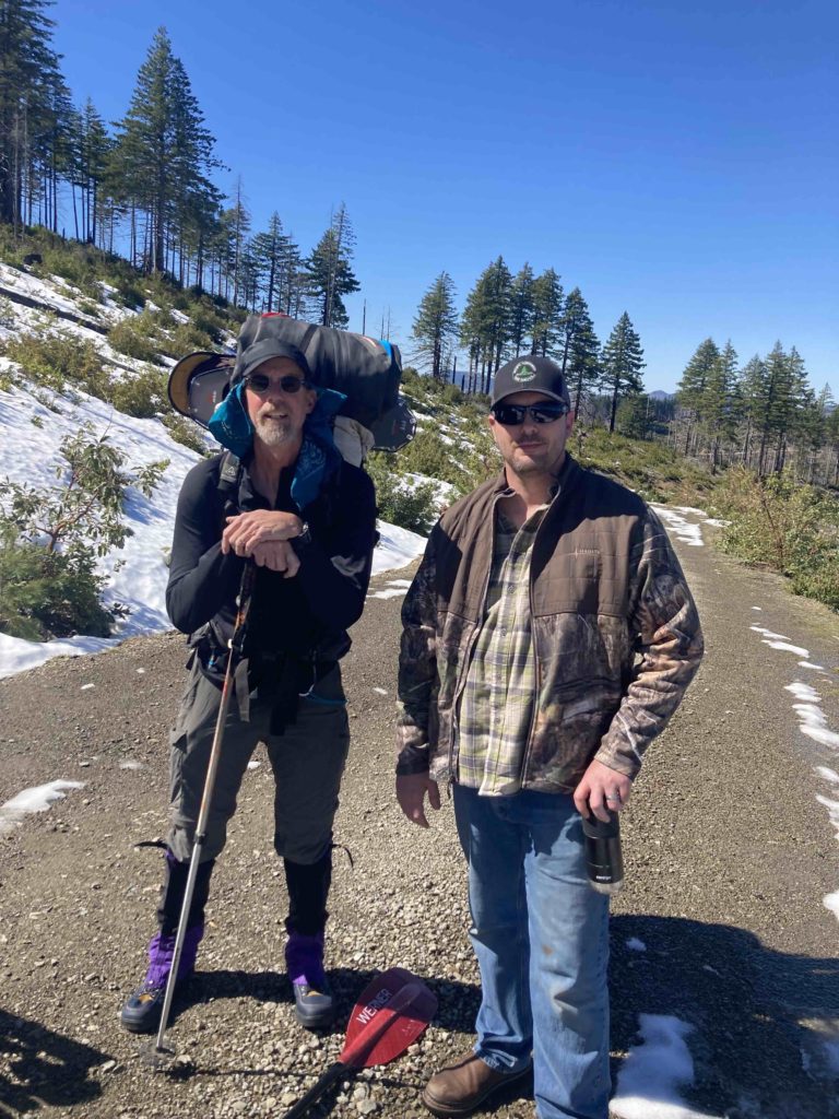
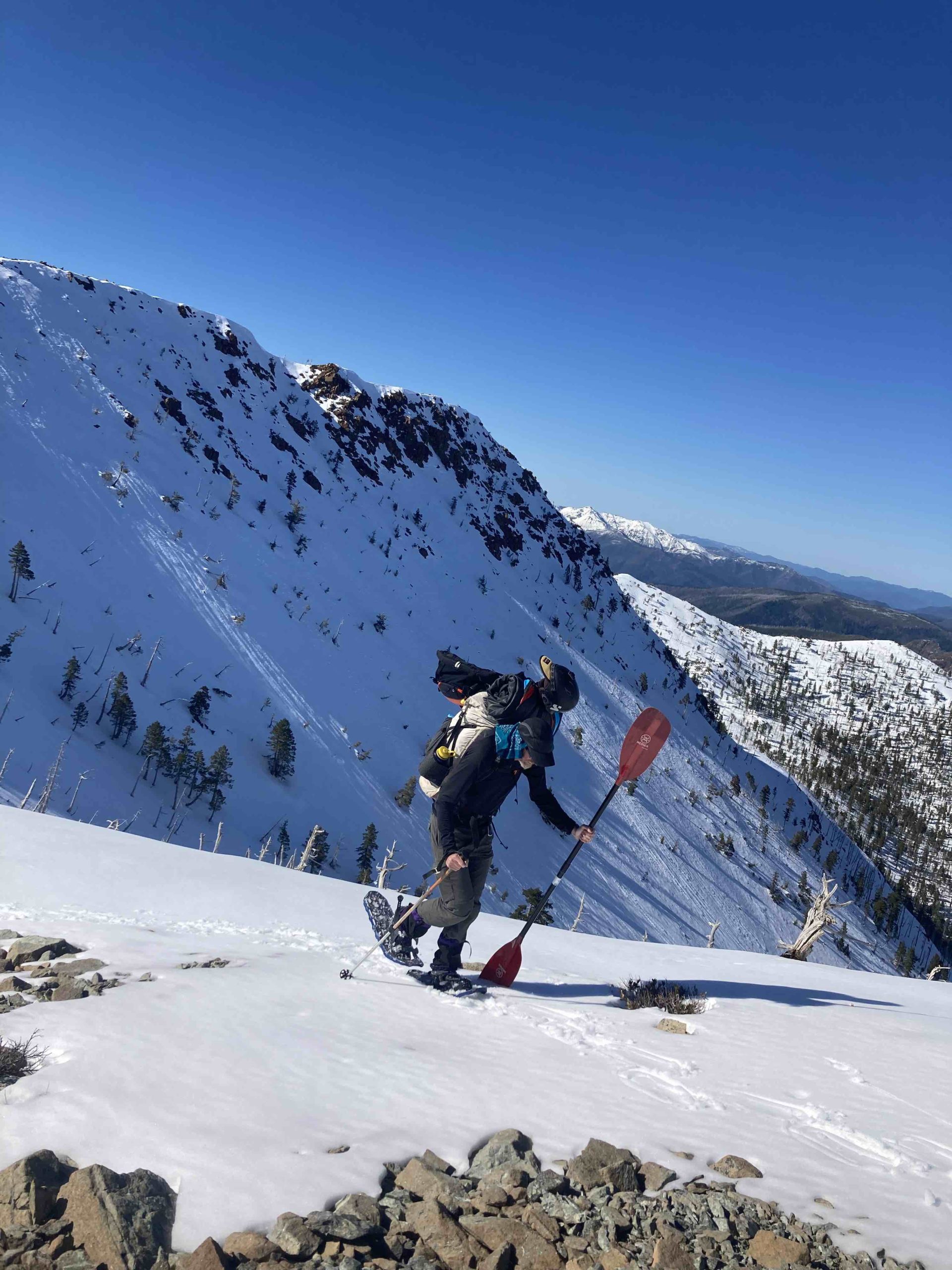
Despite many years of shit-talking snowshoes, there we were with…..snowshoes! Normally I’d take my ski-rafting setup, but we anticipated a very thin snow”pack”, Keith isn’t much of a skier and his skis are something like 195cm long, and we didn’t anticipate being in snow for too long, so we went with snowshoes. I used Verts, which are small and at only a pound or so apiece were a good option, and work well with running shoes (vs ski boots). And were only moderately clunky and annoying.
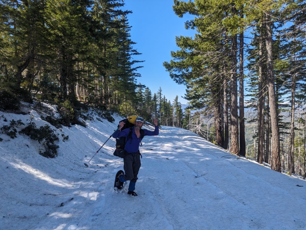
We drove to within 2.5 miles from the trailhead to Vulcan Peak, where our easy road walking turned into a snowy/rocky sidehill trail in deeper snow, and our pace slowed a fair bit as we approached the peak.
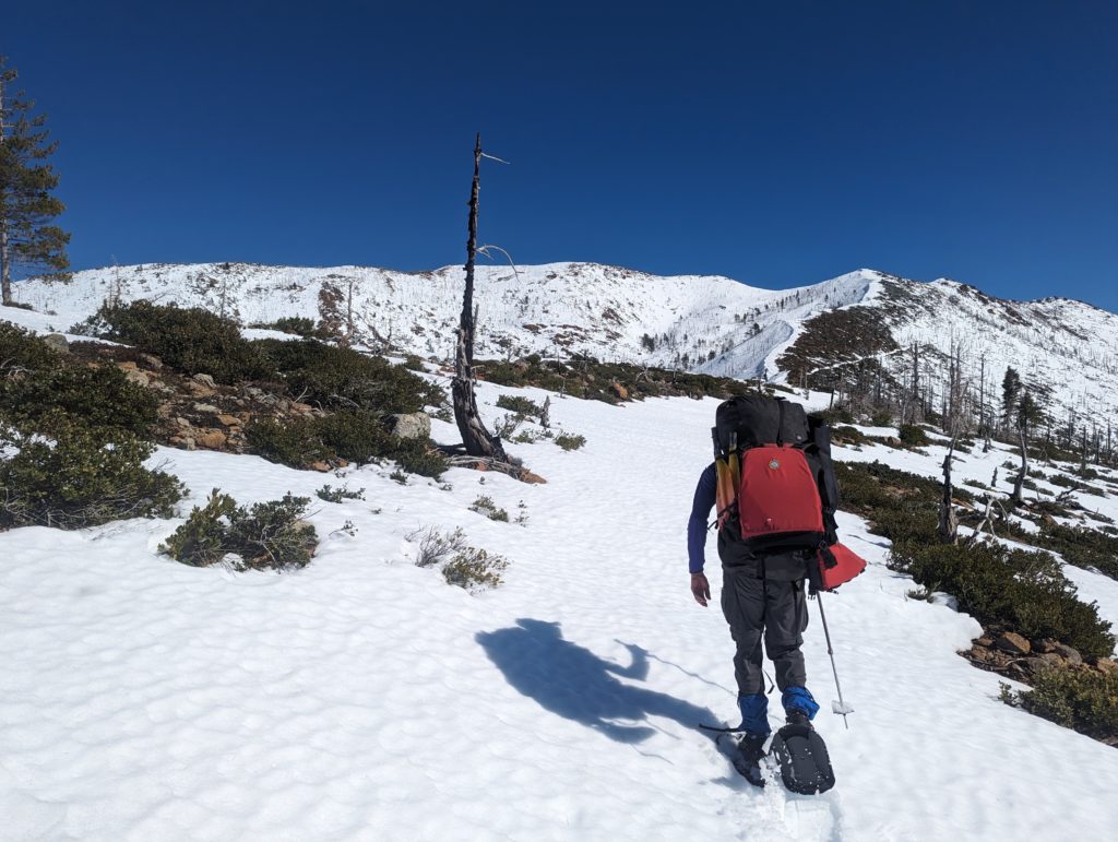
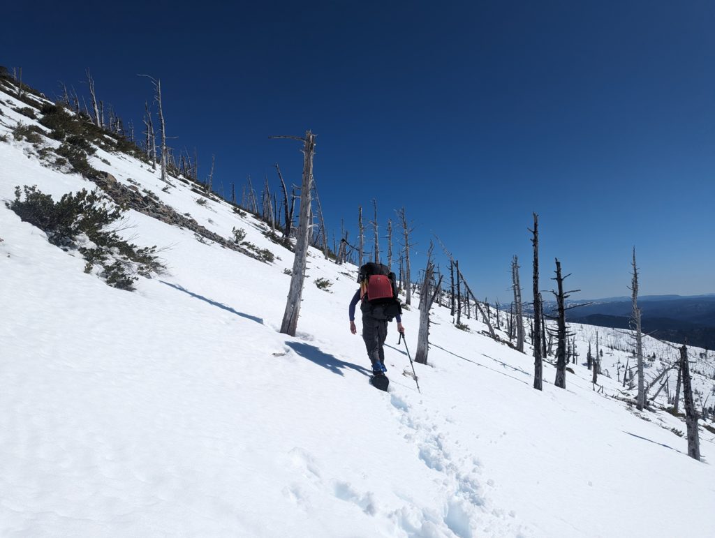
Once on the peak we elected to descend a low angle but fairly sharp, rocky ridge above our intended destination of the Chetco tributary Fresno Creek:
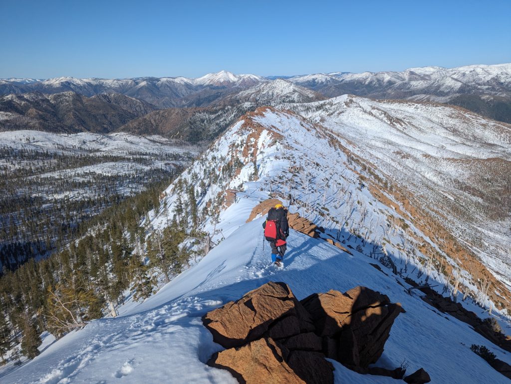
Had we been on skis it is theoretically possible to descend a nice north-facing bowl into the drainage, but 2 feet of mush on rock seemed sub-optimal.
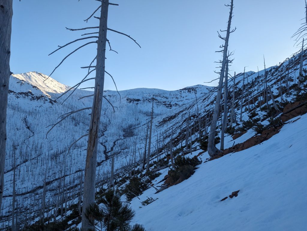
Our pace went from slow to way slow:
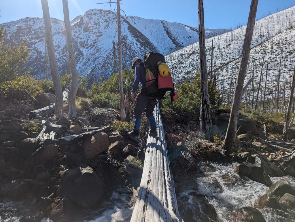
and it took us about 3 hours to get into the valley bottom, which was a total bog; the only moderately flat spot we could find was oozing with snowmelt water, which may have portended sub-optimal camping, but we rolled out our boats and spent about 14 hours hanging out on and sleeping on our flattened boats; another great advantage of packrafts!
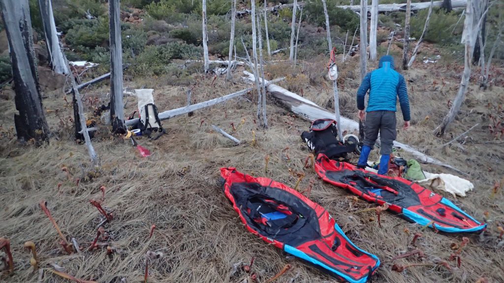
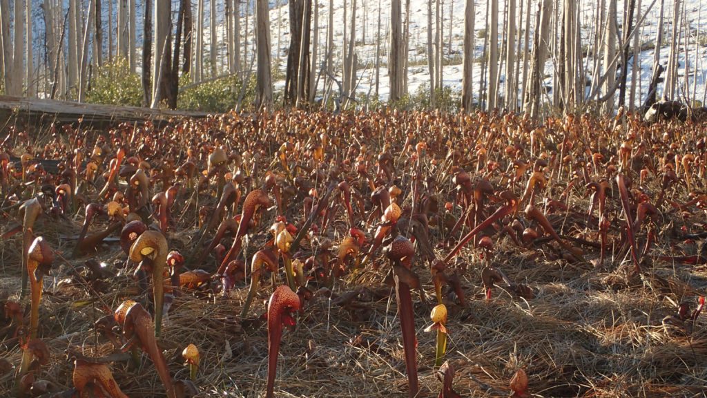
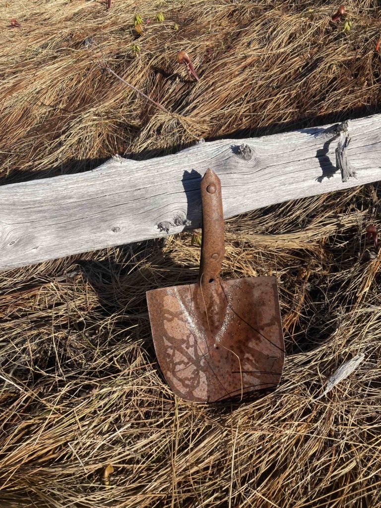
In the morning we struggled our way down the bank of Fresno Creek to a point where there was almost enough water, and rigged to paddle. However, “almost” is the important word here, and we pretty much bashed our way down the creek, abusing our boats when we weren’t portaging.
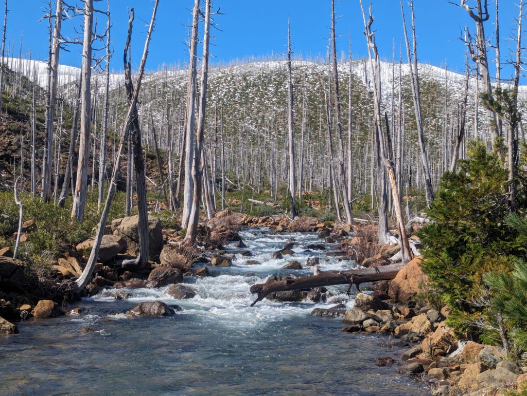
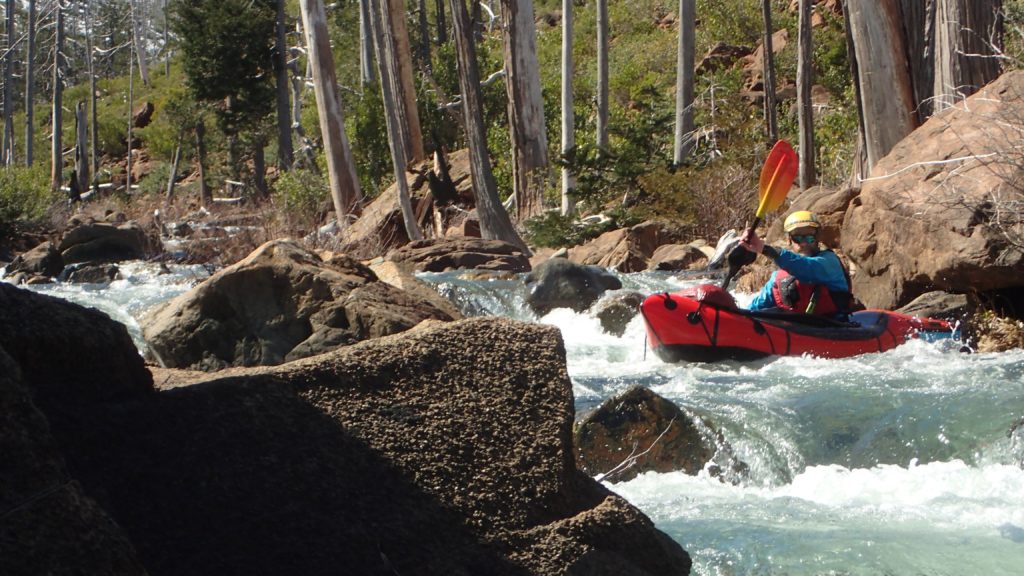
Like a lot of places in the West – but not as many in the jungles of the coast ranges – the area was burned hard in the 201`7 Chetco Bar fire, which was caused by a lightning strike – and according to Tony, was “let burn” by the Forest Service – and eventually burned over 400 square miles, so what was no doubt deep dark forest looked like yet another wide open Idaho firescape.
After a few hours of thrashing on Fresno Creek we made it to the Chetco, and it seemed as glorious as we anticipated: crystal clear water, plenty of it, in a setting that was both beautiful and felt very remote. We had no info on the three mile section above the more-typical put in of Clark Creek, and the rapids started with a bang, with a few portages and one technical and complicated class 4+ that extended for probably over a quarter mile; whilst in the rapid it was a challenge to keep track of what/where we had scouted!
https://studio.youtube.com/video/kFweSWqMn10/edit (not running the rapid, but looking over the rapid; I wanted Keith to be at the bottom of it to have some semblance of safety vs shooting video!)
We finally approached Clark Creek, where we assumed there would be at least a few feet of flat ground since there had been reports of parties camping there after the hike in, and indeed we found one spot big enough for both of us.
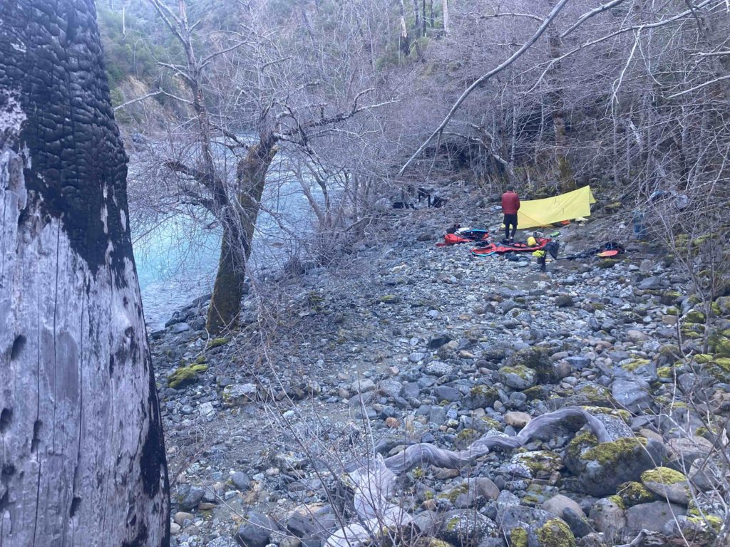
All was good….except for one big thing. Both Keith and I were coming back from injuries; my knee had been damaged in January and while my great PT was pretty liberal in what he said I could do and I’d been skiing a lot, going cross country over rocks and snow with a big heavy pack was probably a bit much, and Keith had shattered his scapula in early fall in a bike crash. Both of us were cautiously optimistic that our respective healing and training had been effective and it mostly was, but as Keith was driving into an eddy he felt a sharp pain in his shoulder that worsened as we camped, and in the morning it was still bad; bad enough that we realized he wasn’t paddling out. So we were once again going to be putting the Pack back into packrafting.
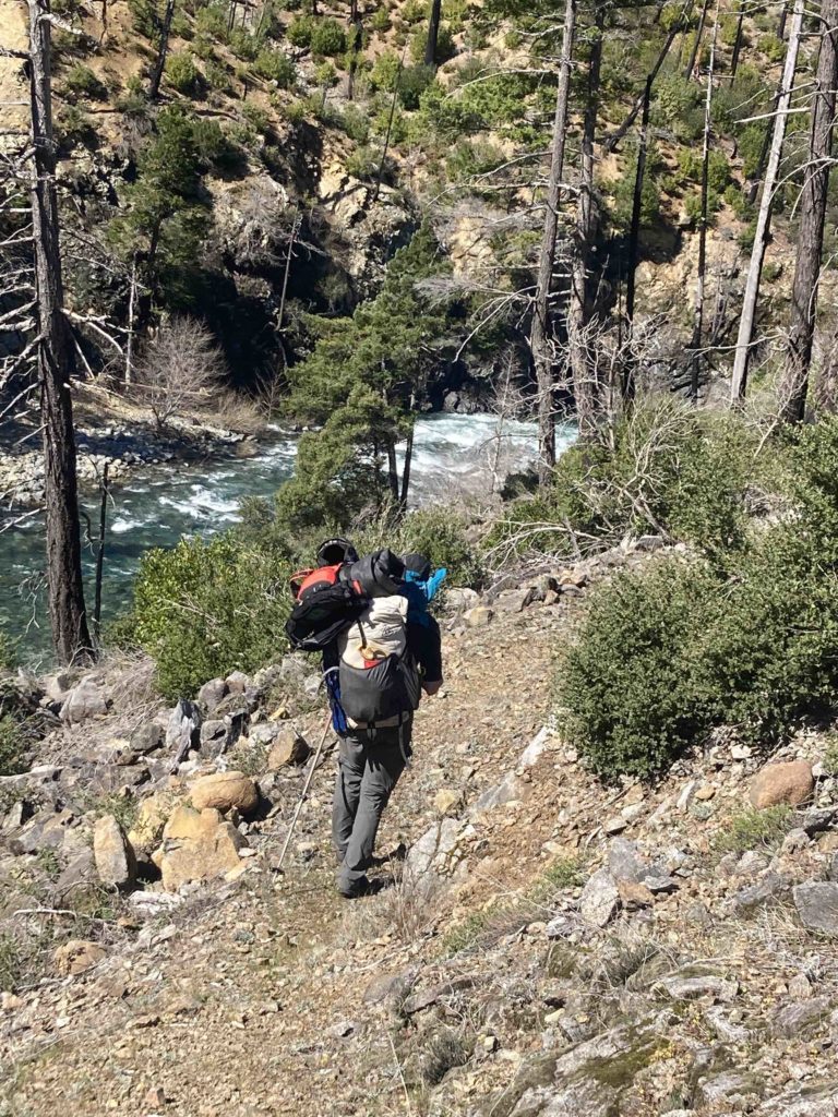
Clark Creek is the most common ingress into the Chetco, but it was also the one that had stymied us on our original scouting mission. Three miles downstream was Slide Creek, which had trails going out to the east to the Illinois and west…..back towards the car. But in a good map-reading exercise trying to discern south vs north facing we realized that the route to the west – to the car – had a lot of north facing terrain on it and thus mushy snow, with more vert, and to the east – 300 miles from the car – it was mostly south facing and lower elevation. After much discussion we determined it would be best to hike down to Slide Creek and exit east towards the Illinois and figure out how to get the car later. This decision was slightly complicated because we had heard from a nice woman with the Siskiyou Mountain Club who said that the trail was cleared for a mile but…..the rest was a schwack! How much of a schwack we knew not, and post-fire manzanita growth can be impenetrable, but it sounded better than many hours of mushy snow slogging.
So up we went, and sure enough the trail – actually an ancient road – was nice for a mile, then it abruptly appeared to get real:
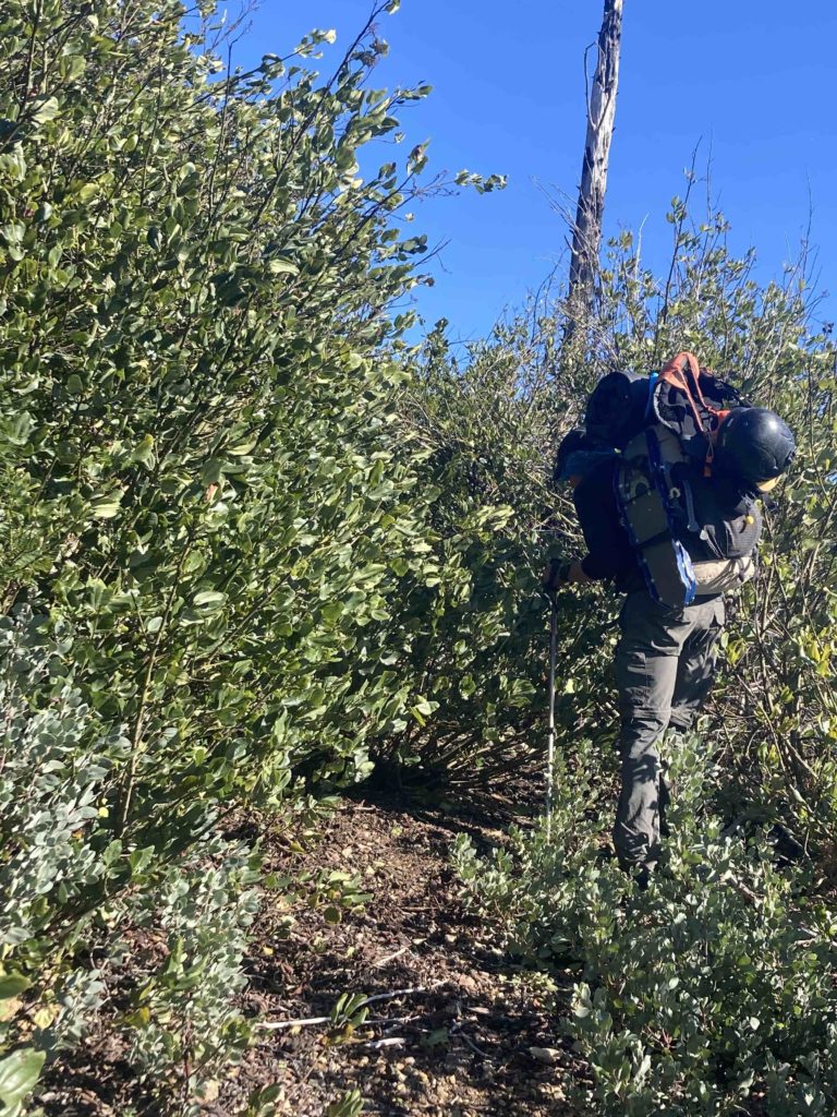
but it was push-throughable and we made it up the 2500 feet to Chetco Pass late in the day and began our descent into the Illinois valley. I figured if anything was going to really test a recovering knee it would be trundling down a rough road/trail with pack laden with wet gear for 3000 feet in 3.5 miles!
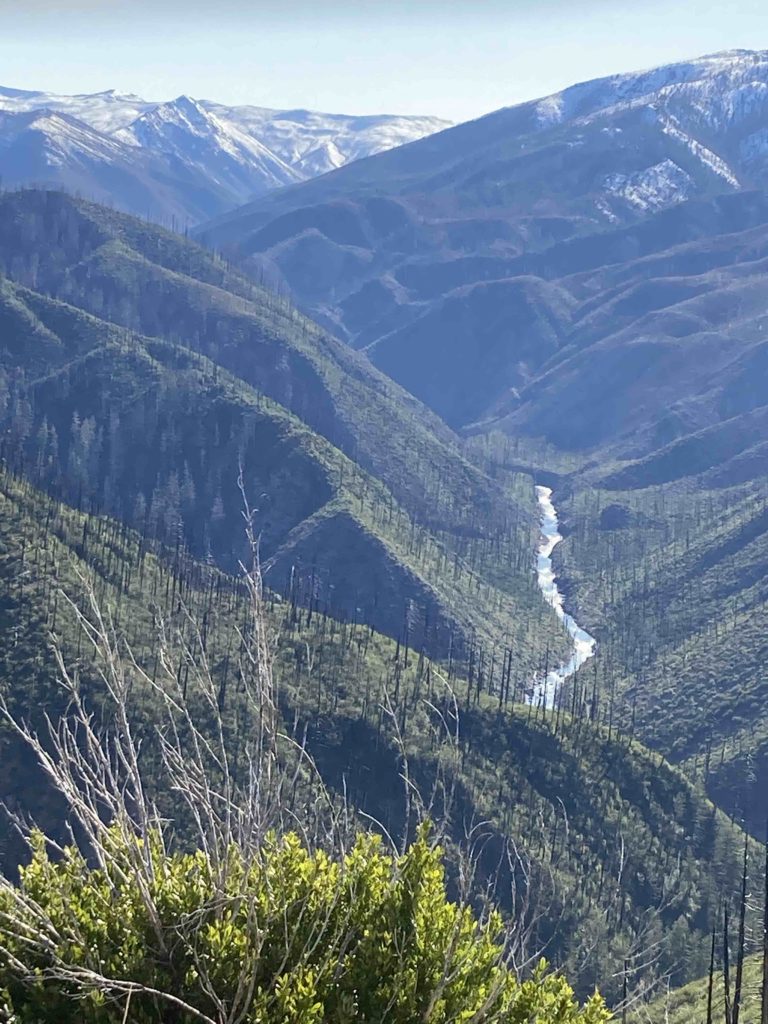
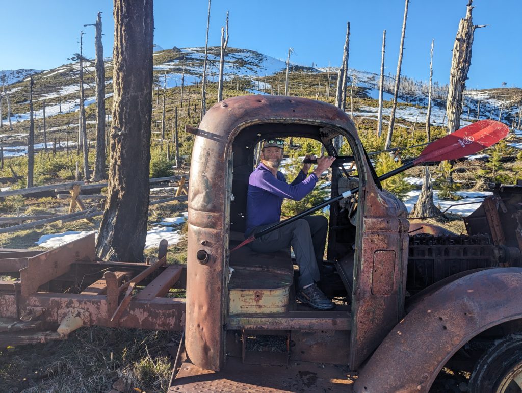
On the way down Keith asked an interesting question: If we’d had a third team member, would I paddle out and leave him to the pretty straightforward hike out, albeit with the warning of a solid – and perhaps impenetrable? – schwack! It prompted a good long discussion of what it means to be a “good partner” and the various elements of risk, reliance, solo vs partner travel, etc. Though I think in this situation 2 people carrying on down the river and one person hiking out would be “fine”, I also hate splitting up groups for the potential cluster of trying to regain contact as well as the associated concern/fear for your pards heading out into the unknown. We both agreed that – in that situation, not necessarily in all situations – we woulda stuck together. But perhaps not all our partners would have done the same?
On Chetco Pass we had been able to communicate with Keith’s brother Eric, who graciously agreed to come meet us at the Illinois river, where our map indicated a bridge. We arrived at the bridge a little after dark and saw a car on the other side, but strangely enough the car bridge was built so low in the water that during the high-water season the river ran over the top of the bridge! (why didn’t they make it higher?). We eased out onto it with our headlamps trying to discern how deep it was and if we could maintain our footing, and alarm bells were going off in my head: I was imagining reading the report in American Whitewater: “Two experienced paddlers tried to cross a flooded bridge with their boats inside heavy backpacks in the dark, lost their footing, and were swept away; their bodies were recovered downstream.” About that time Keith said “Well, we could cross that footbridge just upstream, but it’s closed!” huh? I looked up and sure enough there was a high footbridge a couple hundred yards away outlined against the moonlit sky. “Closed” my ass!
We went up there, gallivanted across the bridge, connected with Eric, and coupla hours later were happily tucked into bed. It’s of course a little disappointing that we didn’t get the float down the Chetco, but we got a good overview of the area, have plenty of incentive to return when schedules and the favorable conditions return, and had a good solid adventure in a great part of the world.
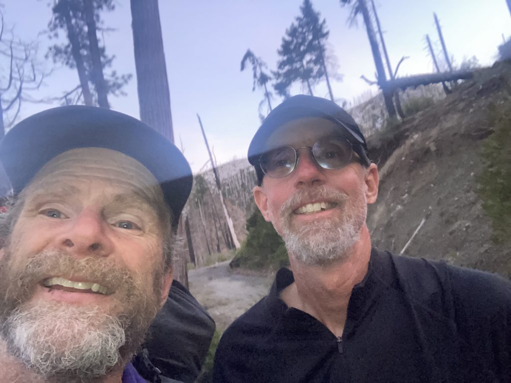
Sorry to hear Keith’s shoulder is still problematic for paddling. Glad that you stuck with him on the hike out. I’m sure you’ll get back in there sometime to paddle the Chetco.
Quite the adventure. I remember being in there and thinking it would be hard to hike out when there wasn’t snow. If you come back and need/want another person let me know I’m only 3 hours away.
Thanks for sharing Tom. Interesting to hear all the decision making. Cheers.
Nice write up Tom. Up until that one paddle stroke, my shoulder had been feeling even better than I had expected. Sorry again for having to turn away from 30 miles of spectacular whitewater for a bushwhack instead. Thanks for being so magnanimous about the whole thing.